Now you're just attributing to me strawman arguments I didn't make, and reaching ridiculous levels of pedantry in hopes of snagging a gotcha. I'm unimpressed that you're now reaching for "You're only 99% right."
It is nowhere close to 99%. And you were the one who claimed that it simply didn't happen. All I needed to show, technically, was
one example to prove you wrong.
It was in fact a problem, it's well known that bridges
tended to interfere with river traffic.
We think of bridges as links, providing access from one side of an obstacle to the other. But they can be obstacles themselves: hindering river traffic, for example.
There's a reason cities were built all along one side of the river, to avoid hindering river traffic and use it for defense.
Again, once you have
a bridge across the river, it hardly matters how many more there are and whether there is a half of the city across the river. Obstruction is there. If it cannot be navigated, it cannot. If it can be, so can other bridges.
The only reason cities were built all along one side of the river was because river was used as a massive moat. The end. But even then, you often had a
part of the city across the river - I do not know why it was done, but it may have been in order to ensure the ability to block the river with boom chains.
Romans were quite happy to "block off" Tiber with
Milvian bridge. Both
Trajan and
Constantine bridged Danube, which was a
massive traffic artery, and, well, Romans built stone bridges over every single major river in the Empire except for the Euphrates (which was a defensive border) and Nile. This included Rhine, another massive traffic artery which had at least
four different bridges over it.
BTW, Romans used pontoon bridges as
permanent bridges on rivers which were too fast / powerful to be bridged by a conventional stone bridge. Which rather brings into question the assertion that pontoon bridges in Osijek, Buda etc. were built in such a manner for ease of removal.
As for your others, your understanding continues to be as low as your honesty. Osijek? Built in the 17th century, well after when we're discussing and had to be destroyed soon after, but I'm not surprised your history knowledge is so spotty.
Pot calling the kettle black. Original bridge at Osijek was built in 16th century, not 17th (specifically, 1566.). It was also not destroyed by the Ottomans, it was burnt down by Habsburg troops in 1663. And for the purposes of the topic it simply doesn't matter what century it is, whether it is 6th or 16th or 19th, so long as it is before the invention of the steam engine. So long as you had animals pulling carts instead of the steam engine, naval and riverine traffic continued to be massively more important than land traffic, and cities would face exact same physical challenges when it comes to questions of supply and river traffic.
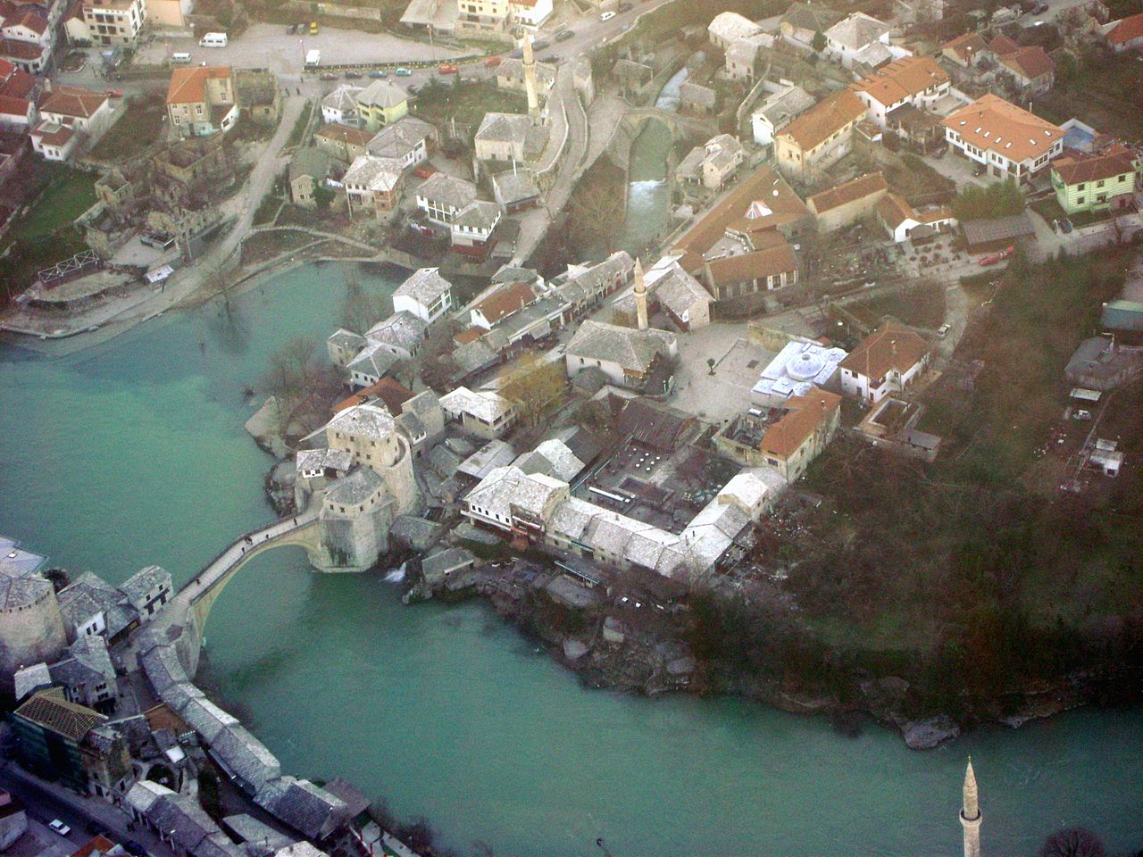
Buda and Pest? Your picture is of the famous
chain bridge, which was a series of pontoons that could be pulled out of the way of river traffic, no permanent bridge was built until the
19th century.
Proof it was regularly done? The link gives impression bridge was only removed during winter. And pontoon bridges were often in fact permanent structures, built in lieu of stone bridges merely because they were cheaper.
Remind me again how many times Osgiliath got sacked, invaded, and conquered?
And Imma note, the referenced to the bridges was to Faramir and Boromir destroying the last one, and keeping on making sure no bridges existed, because they needed the river to act as a defensive barrier. That merely highlights why medieval societies liked being on one side of the river instead of straddling it.
And that is the reason. Nothing to do with blocking traffic. But Osgiliath was supposed to be protected by Minas Anor and Minas Tirith - it was noted in a couple of places that these two cities were mere fortresses of Osgiliath. So they may well have thought that securing bridges over the river with a city would be more important than securing a city with a river. And keep in mind that there was no known major threat extant when the three cities had been built: designs of Minas Anor and Minas Ithil actually seem rather paranoid, considering the fact that Sauron was believed to have died and the greatest known threat were the wild men.
EDIT: Also, you are clearly unfamiliar with the term
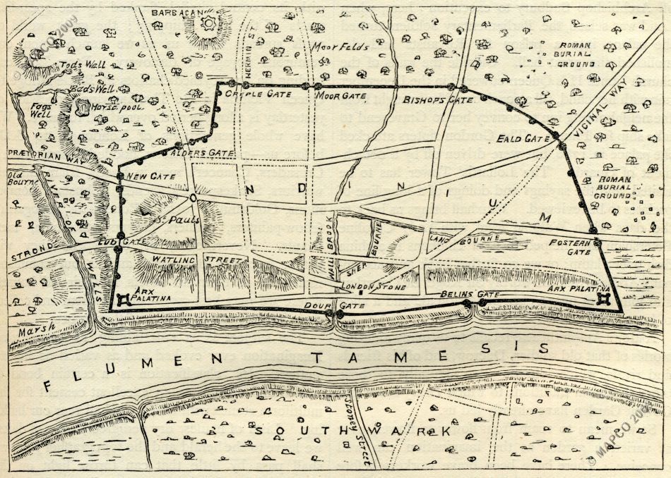
head of navigation. That alone renders most of your complaints irrelevant - with most large cities (e.g. Rome, London, Paris) they didn't have to worry about bridges blocking traffic by large ships, because large ships would have been unable to proceed anyway. And now that I think about it, considering how far inland Osgiliath is, it is almost certain it is located at Anduin's head of navigation. So there is no point in
not building a bridge there, considering that ships would have been unable to proceed anyway.